About Seamap Antarctica
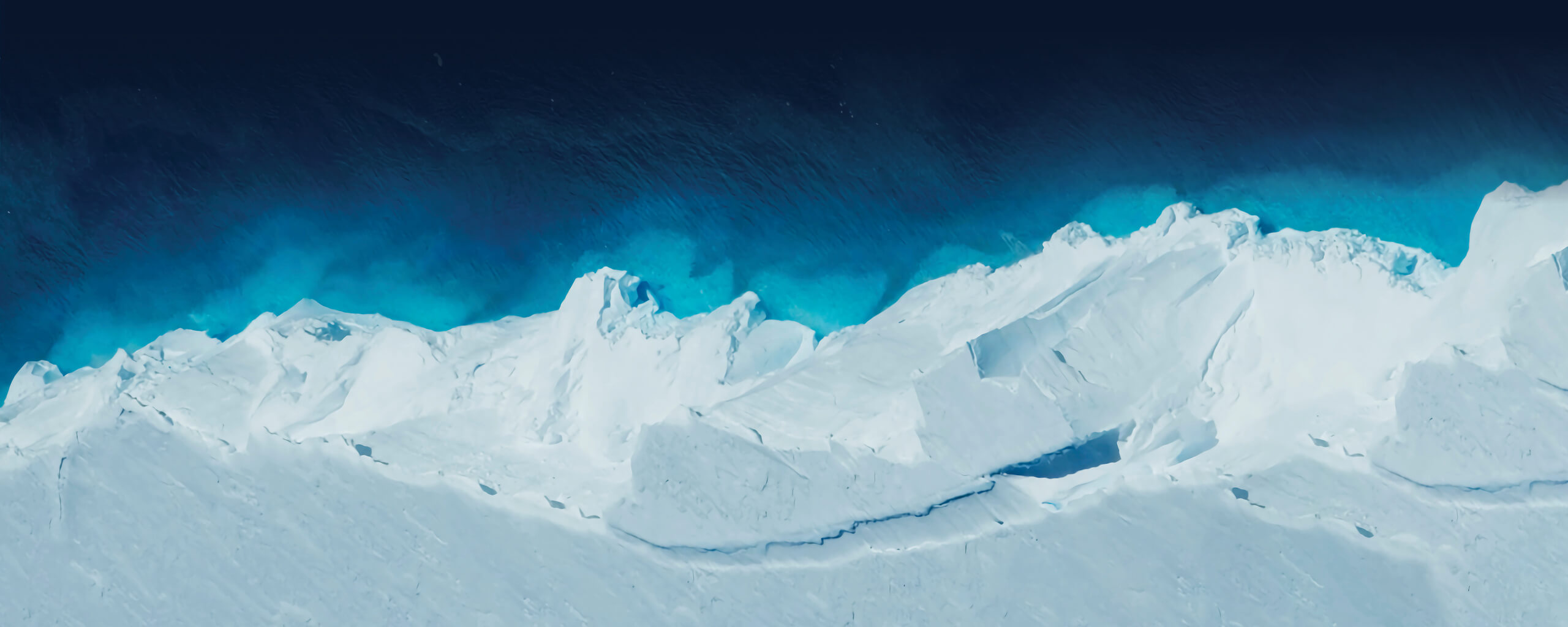
Antarctica is different
Understanding the Antarctic environment is one of the last great challenges in marine science. Seamap Antarctica brings together the best available spatial data to support discovery, research, and informed decision-making across the Antarctic and Southern Ocean.
Pressures on a changing system
Although Antarctica is remote, it is not isolated from global change. The Antarctic and Southern Ocean are increasingly affected by climate-driven shifts in ocean temperature, circulation, and sea ice, alongside expanding human activities such as fishing, tourism, and scientific operations.
These pressures interact cumulatively, placing stress on ecosystems that are often slow to recover and poorly understood.
Understanding where ecosystems occur, how they function, and where critical knowledge gaps remain is essential for effective science, conservation planning, and environmental stewardship in the region.

The role of Seamap Antarctica
Seamap Antarctica is an open mapping portal that brings together the best available spatial information on the Antarctic marine environment.
It integrates a wide range of datasets, from seafloor structure and ecosystems to oceanographic processes, sea ice and human activity within a shared geographic framework. Built through collaboration across national and international research programs, Seamap Antarctica makes Antarctic spatial information easier to discover, explore and use, both within the portal and beyond it.
Behind the portal, Seamap Antarctica is a collaborative initiative grounded in transparency, context and traceability. Rather than presenting a single definitive picture of the Antarctic marine environment, it emphasises data provenance and clear interpretation, helping users understand both what the data show and the limits of interpretation. In doing so, Seamap Antarctica supports more informed research, management and policy across the Southern Ocean.


Who We Are
Seamap Antarctica is a new and evolving initiative, developed by a multidisciplinary team at the Institute for Marine and Antarctic Studies, University of Tasmania.
Bringing together marine scientists, spatial analysts, data specialists and science communicators, the project draws on expertise in Antarctic research, seafloor habitat mapping, biodiversity modelling, AI-assisted image classification and scientific storytelling.
Each member of the Seamap Antarctica team brings a unique perspective, helping to create an interdisciplinary platform that supports discovery, collaboration and evidence-based decision-making for Antarctica’s marine environment.
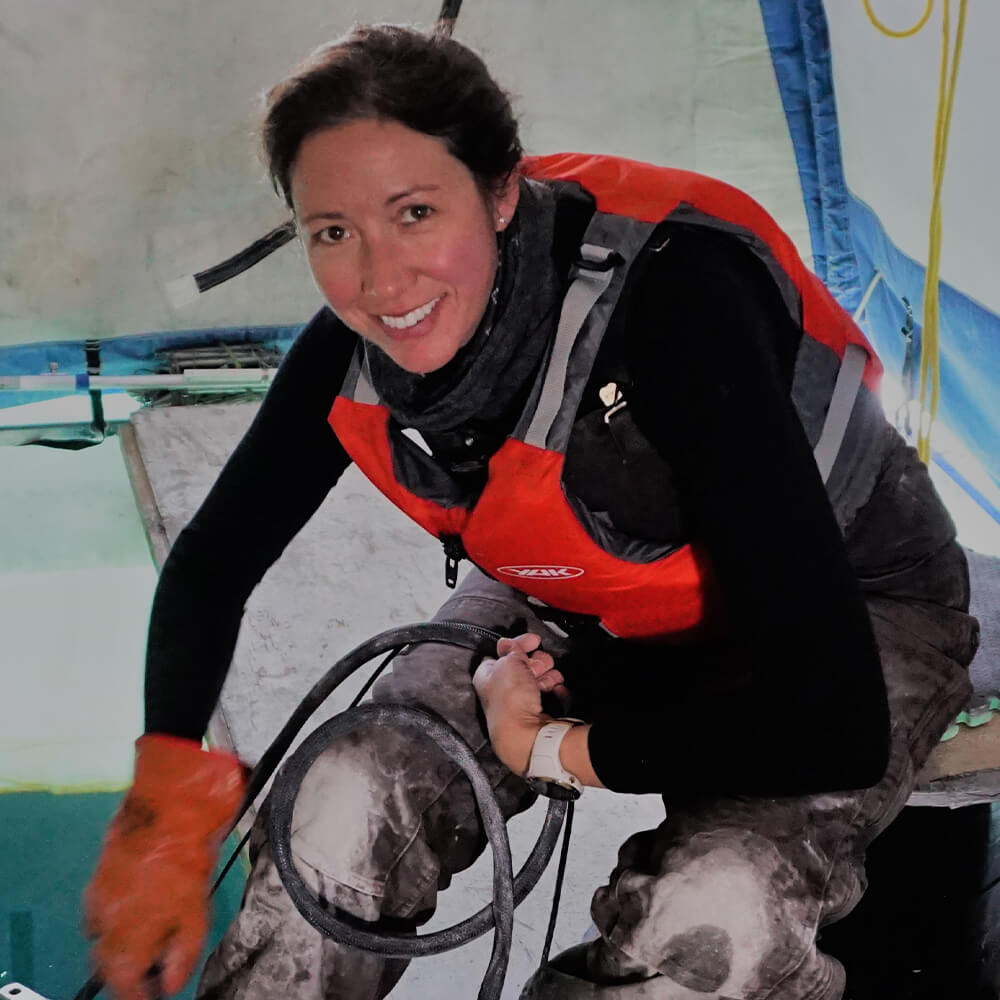
- Vanessa Lucieer: Seamap Antarctica co-founder and spatial analyst
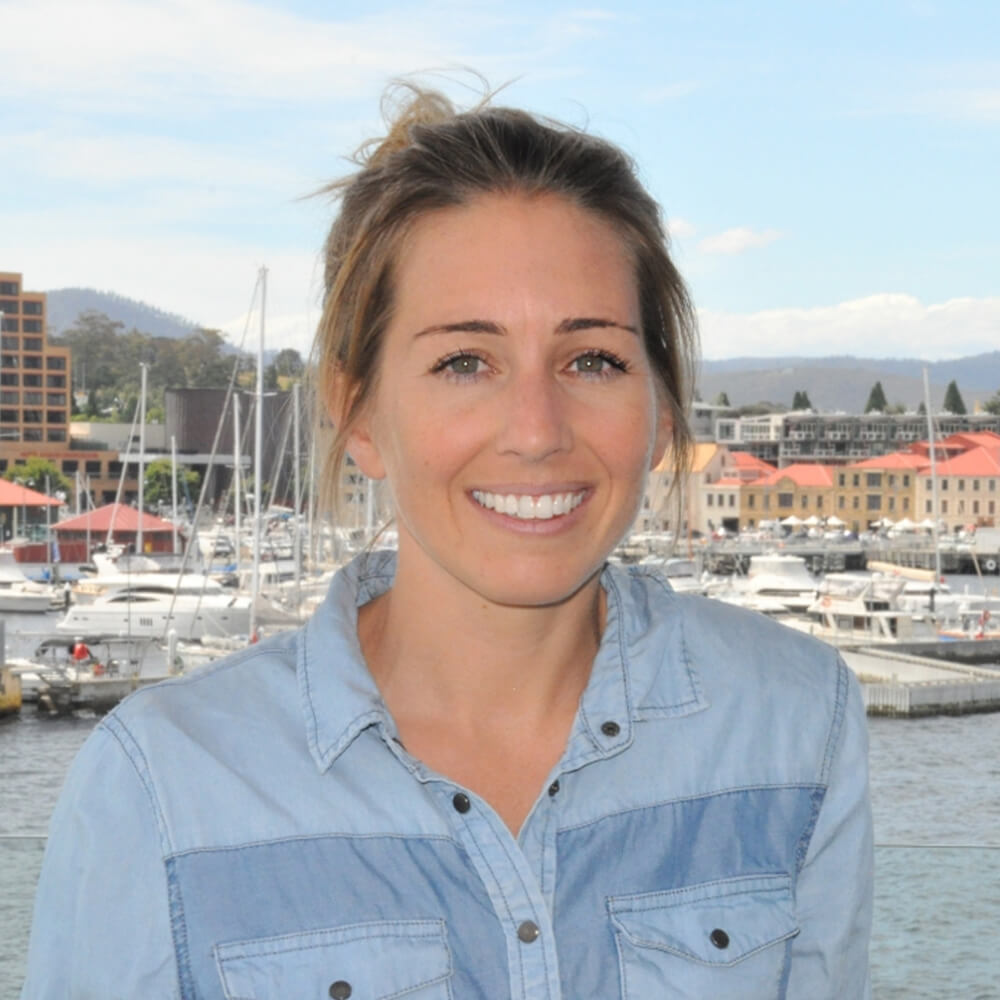
- Emma Flukes: Seamap Antarctica co-founder and data analyst
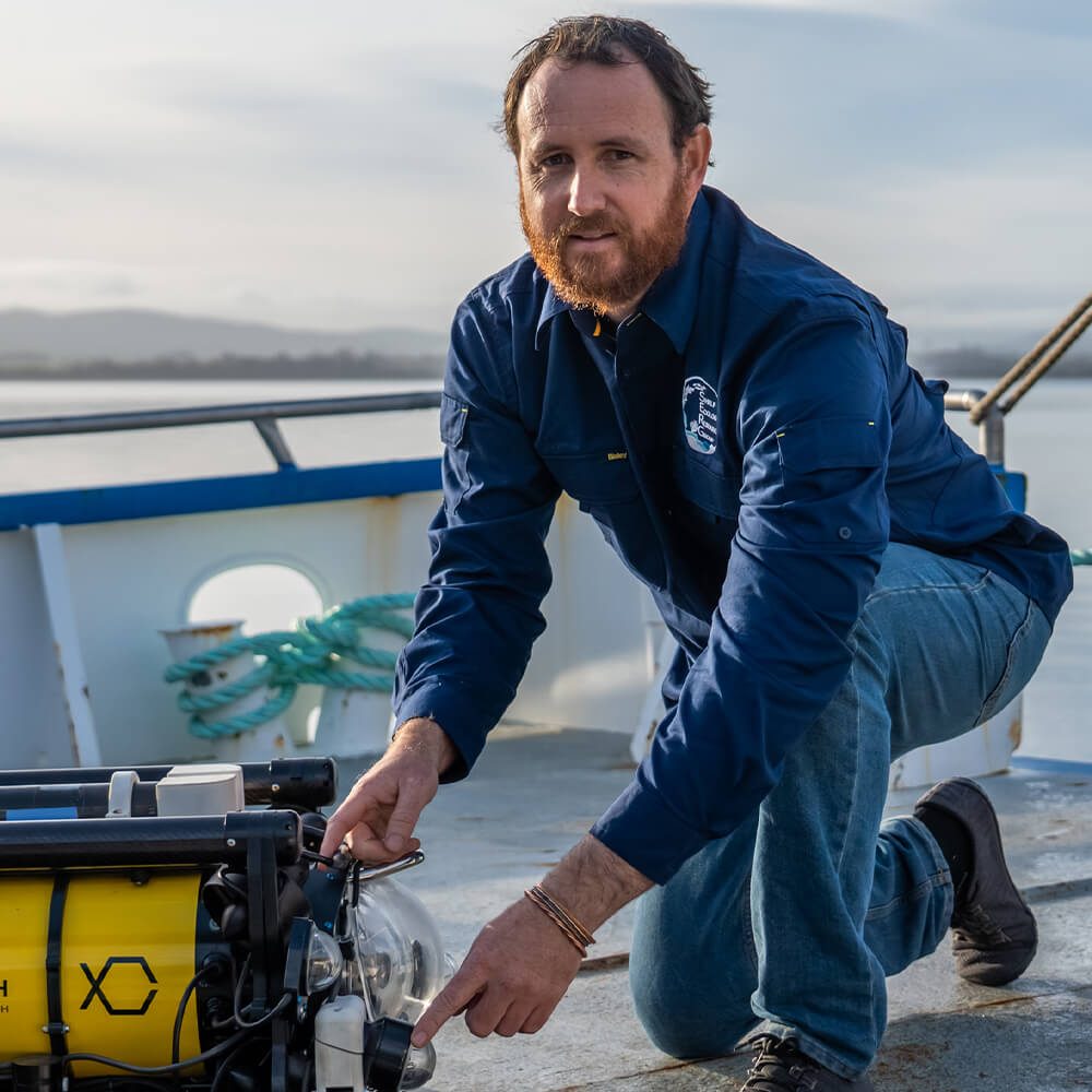
- Jacquomo Monk: seafloor imagery classification
- Nicole Hill: marine biodiversity assessment
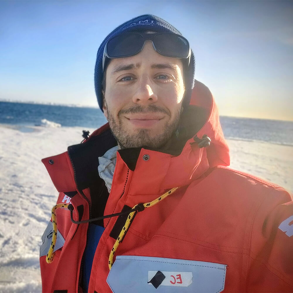
- Emiliano Cimoli: Antarctic marine remote sensing development
- Jan Jansen: Antarctic seafloor imagery collection
Made possible by ACEAS
The Australian Centre for Excellence in Antarctic Science (ACEAS) plays a key role in the Seamap Antarctica initiative, providing coordination, scientific leadership and infrastructure support that enable collaboration across institutions.
By helping bring Antarctic marine data together in a more accessible and connected way, ACEAS extends the long-term value and reach of these data across the research community.
Through Seamap Antarctica, ACEAS contributes to a stronger foundation for Antarctic marine research, improved data management and access, and more informed stewardship of the Antarctic and Southern Ocean environment.
Visual media credits
The Seamap Antarctica is rich in amazing visual media, and we are grateful to the many contributors who helped bring it to life.
A special thanks to Emiliano Cimoli whose images and videos have have been used extensively throughout Seamap Antarctica to showcase both the majestic landscape that is Antarctica, and the practicalities of day-to-day research activities.
Thank you to our other generous media contributors:
- Australian Antarctic Division (AAD)
- Australian Centre for Excellence in Antarctic Science (ACEAS)
- BBC Earth
- NASA’s Goddard Space Flight Center (GSFC)
- Ocean Image Bank
- National Oceanic and Atmospheric Administration (NOAA)
- Schmidt Ocean Institute
- Skytraders
- Squidle+ seafloor imagery collection
- Unsplash