Research under the ice

Seeing Beneath the Ice

Much of the Antarctic coastline is bordered by floating ice shelves and seasonal sea ice. Beneath the ice, dark waters circulate through hidden spaces between the frozen surface above, and the seafloor below.

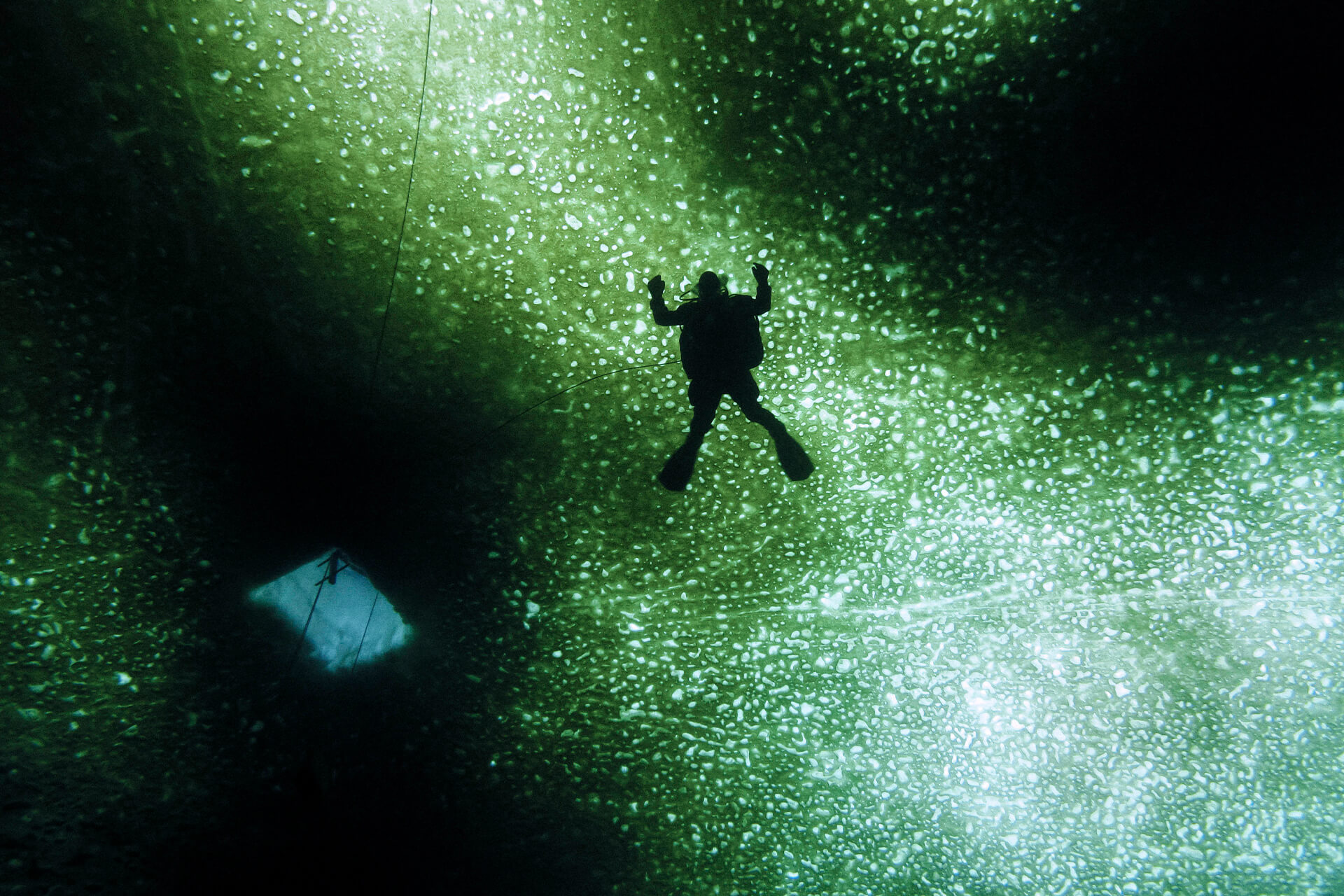
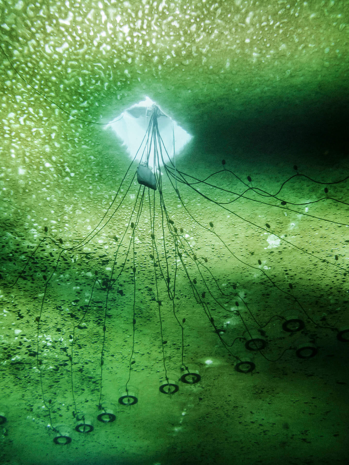
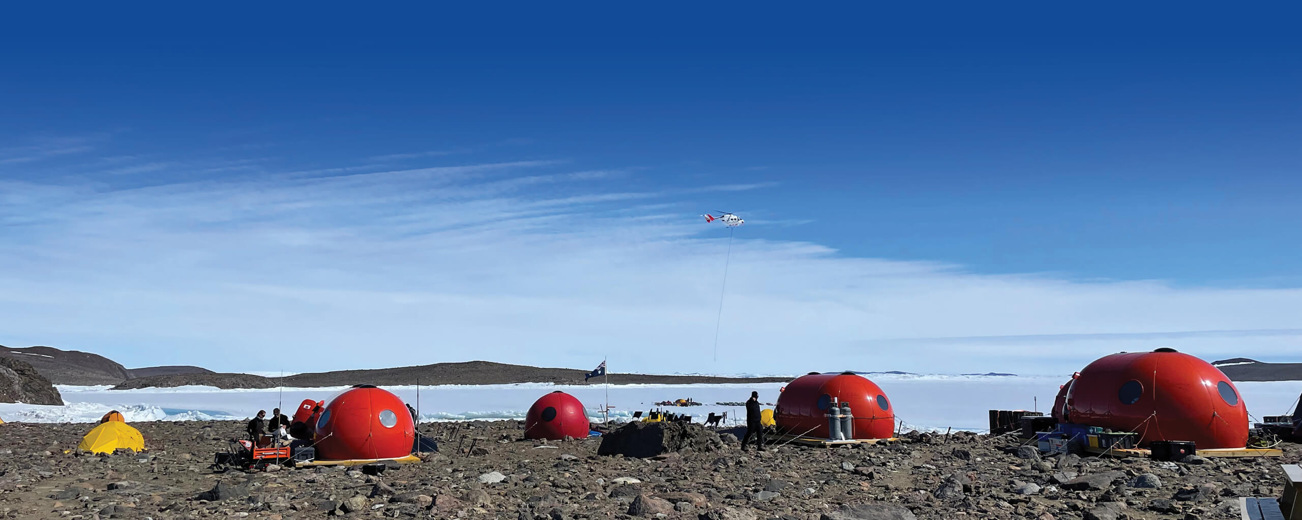
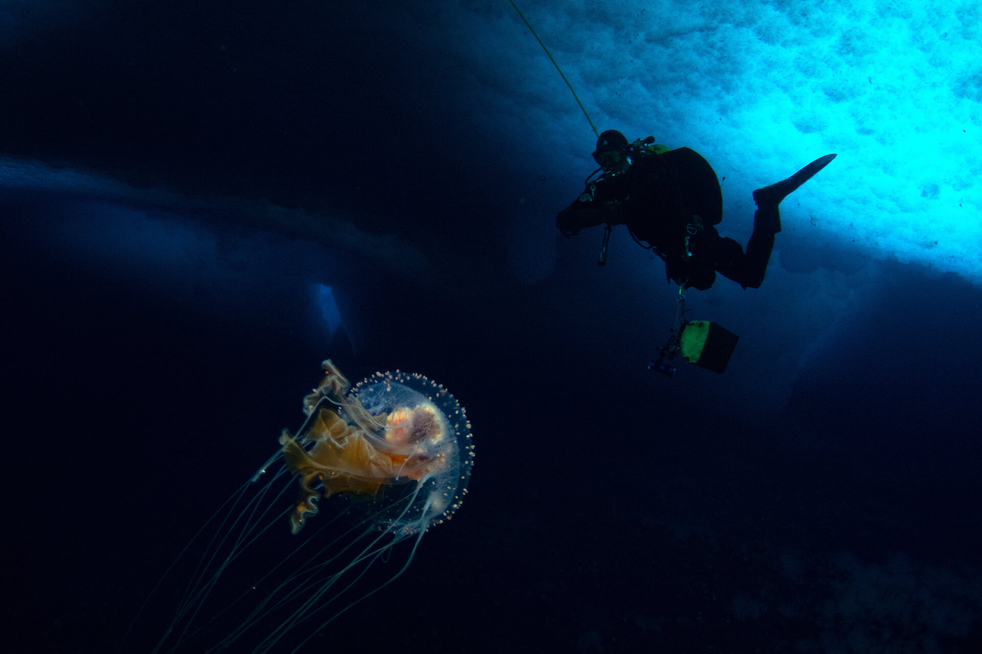
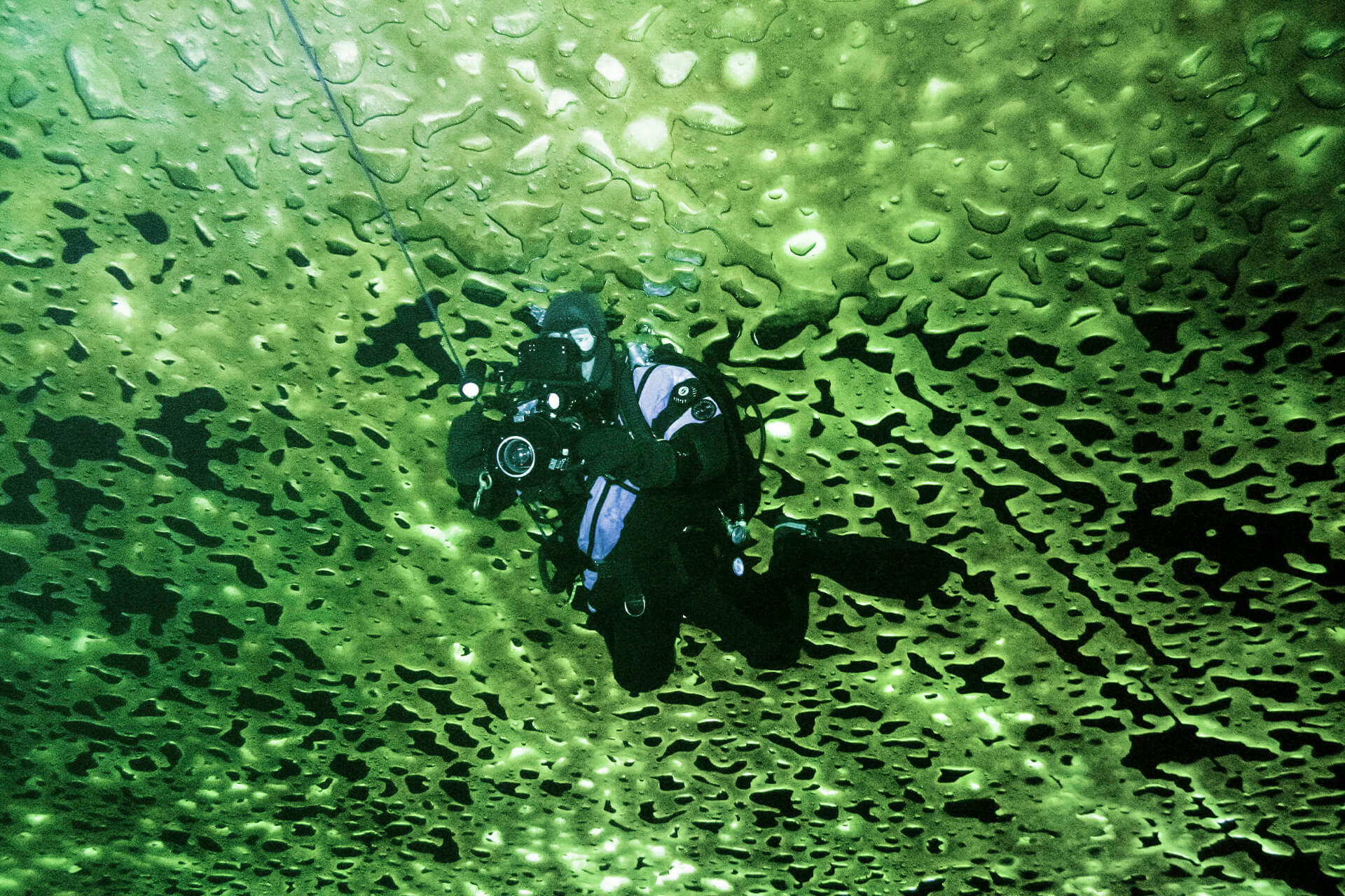
Studying under-ice environments presents unique challenges. Access is limited, conditions are extreme, and the water beneath the ice is difficult to reach, observe and map. In this concealed world, ice, ocean and life are intricately connected.

Scientists study under-ice environments to understand how ocean circulation melts ice from below, how sea ice and ice shelves influence surrounding ecosystems, and how biological communities function in dark, ice-covered waters.

What Lies Beneath

Beneath Antarctic ice, seawater circulates in spaces between the ice above and the seafloor below.

Under sea ice and floating ice shelves, ocean water moves through hidden spaces between the ice above and the seafloor below. In some places, relatively warm water can melt ice from beneath, thinning ice shelves and affecting how strongly they hold back the glaciers behind them. These processes play an important role in shaping Antarctica’s ice loss and its contribution to sea-level rise.

These waters also sustain diverse biological communities. Beneath sea ice and within ice-shelf cavities, researchers have found ecosystems adapted to cold, dark conditions, where food and nutrients arrive through the movement of the surrounding ocean.

Reaching the World Below

Under-ice research begins with the challenge of access.

In some coastal areas, researchers can walk onto stable sea ice and drill or cut holes through to the water below. Beneath thicker floating ice shelves, access may require hot-water drilling systems, which melt narrow boreholes through hundreds of metres of ice. Once an opening is made, scientists can lower cameras, instruments and sampling equipment into the water beneath.

The human advantage

In some settings, specialised ice divers are also used to work below the surface.

Under-ice divers may position instruments, collect samples, or document the underside of the ice at close range. This type of diving is highly controlled because divers must return to a fixed exit hole rather than ascend directly to the surface. In places where cameras lowered from above cannot clearly capture the environment, divers can provide direct observations of under-ice habitats.

Robots Beneath the Ice

Underwater robotic systems have transformed how scientists study environments beneath the ice.

Remotely Operated Vehicles (ROVs) and Autonomous Underwater Vehicles (AUVs) are used to investigate sub-ice environments. ROVs are tethered to the surface and controlled in real time, while AUVs are pre-programmed to travel further on their own, taking measurements along the way.

Under coastal fast ice, ROVs can be deployed through holes in the ice to measure ice properties, light penetration, and the amount and distribution of algae living within the ice. Beneath ice shelves, AUVs and other robotic systems can travel further into the cavity, mapping the shape of the ice underside and collecting oceanographic and bathymetric data.

Both types of vehicles can also capture images of seafloor life beneath the sea ice, documenting places that would otherwise be impossible to reach.

Sea-Ice Algae and the Ice–Water Interface

The underside of sea ice is a strange and highly productive living surface.

In sunlit waters, algae grow within sea ice and at the ice–water interface. These tiny photosynthetic organisms help drive primary productivity in Antarctic coastal waters. This productivity flows through Antarctic food webs, from small zooplanktonic grazers to large predators.

The growth and distribution of sea-ice algae are closely shaped by the physical structure of the ice above. Light reaching the lower ice layers and the water immediately below the ice is central to this process. Snow thickness, ice thickness, and ice structure all affect how much light passes through the ice, which in turn shapes where sea-ice algae grow and how productive they become.

Scientists measure these properties using ice cores, snow pits, fixed observatories, cameras, and under-ice vehicles.

Mapping life in hypercolour

Hyperspectral imaging is a modern technique that measures light across many narrow wavelengths. When used beneath the ice, it captures the pattern of light transmitted through the snow and ice, allowing researchers to map algal distribution, estimate algal biomass, and relate these patterns to changing snow and ice properties across broader areas of sea ice.

CHOOSE YOUR PATH

Research on the ice

Field teams travel across glaciers, ice shelves and coastal environments to install instruments and collect samples.

Research at sea

Beyond the ice edge, research vessels map the seafloor, sample the water column and investigate life in the Southern Ocean.

Back to base

Return to base to explore another aspect of Antarctic field research.